Hiking&droning in the Swiss Alps

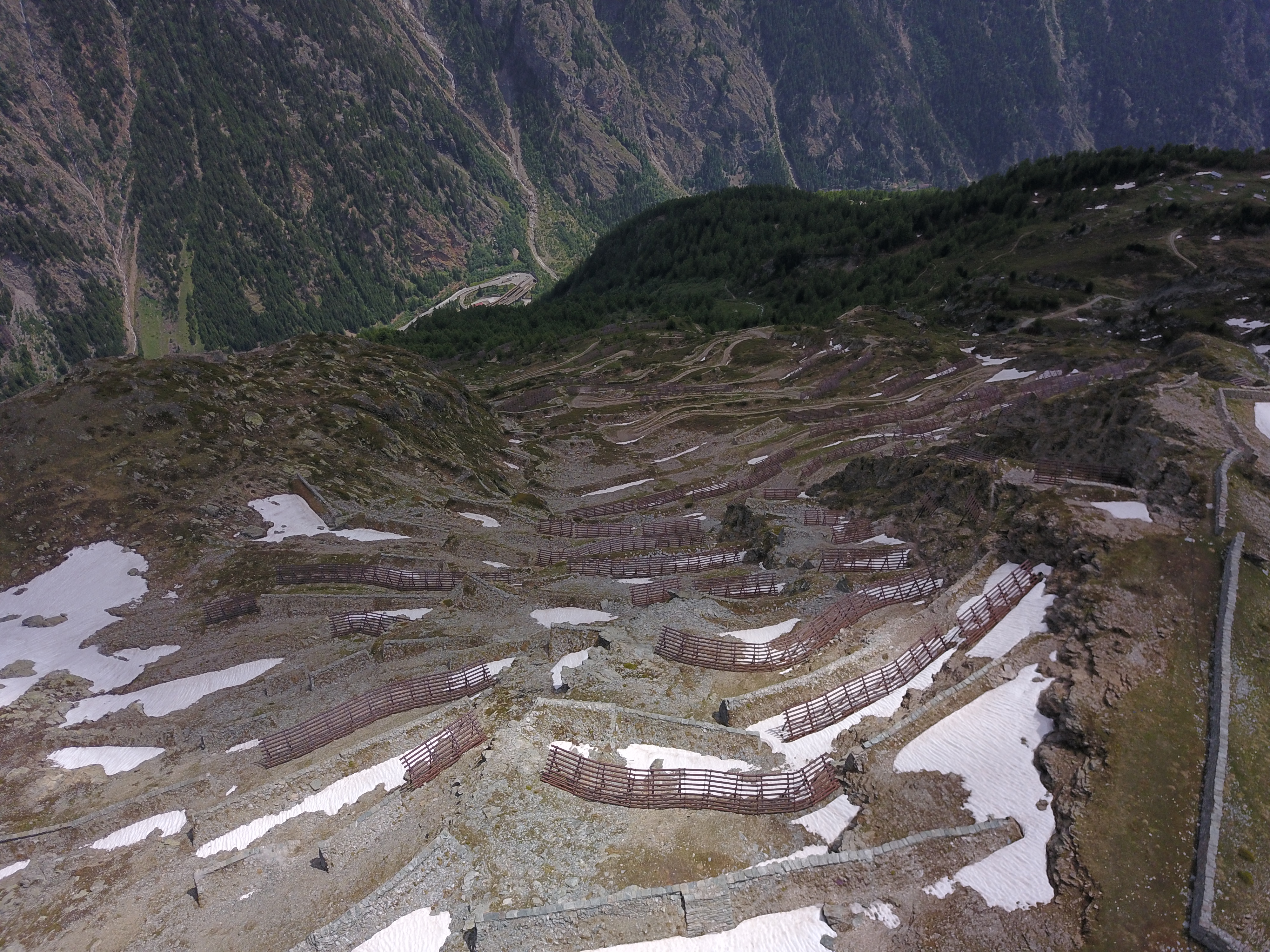
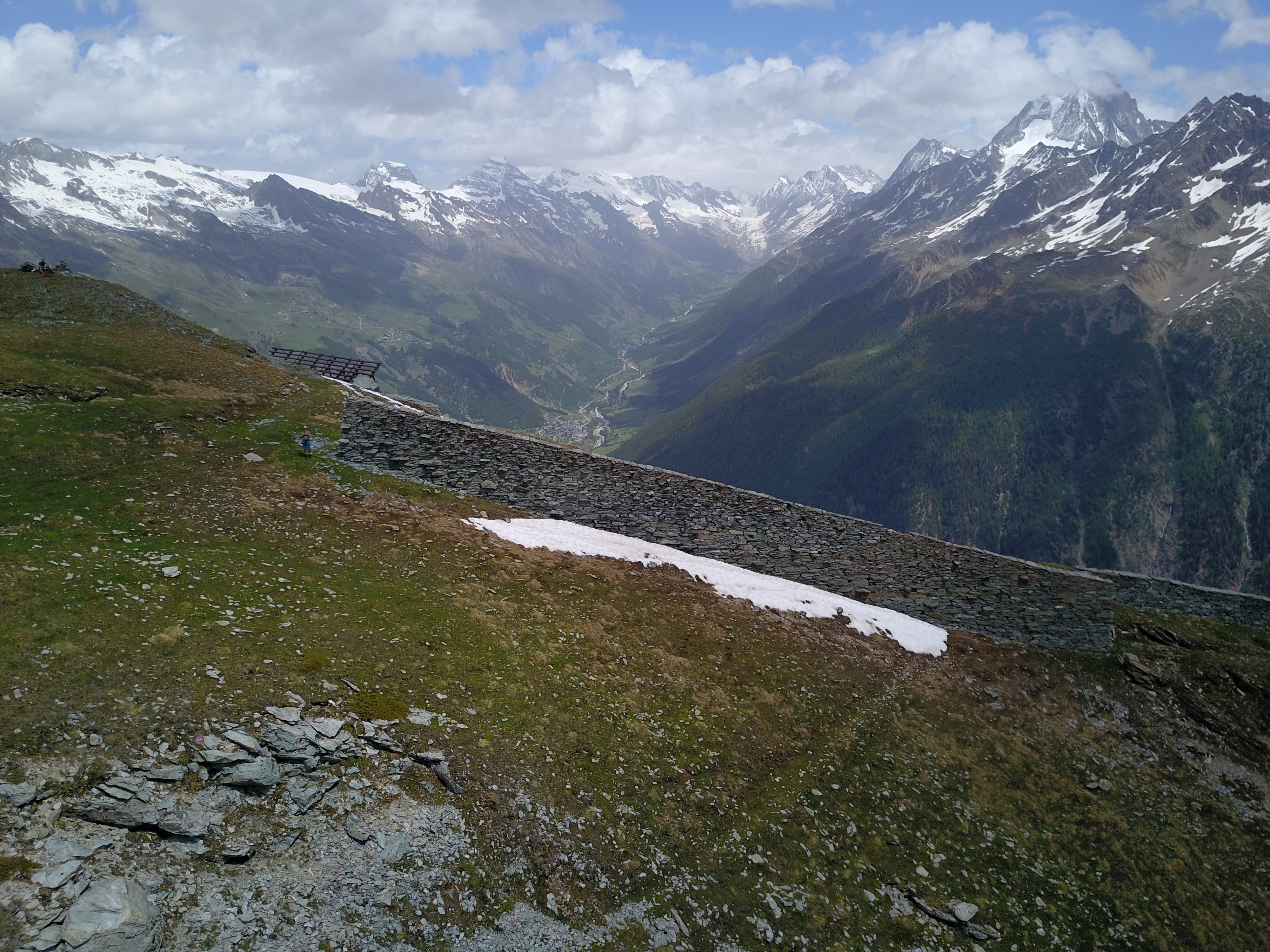
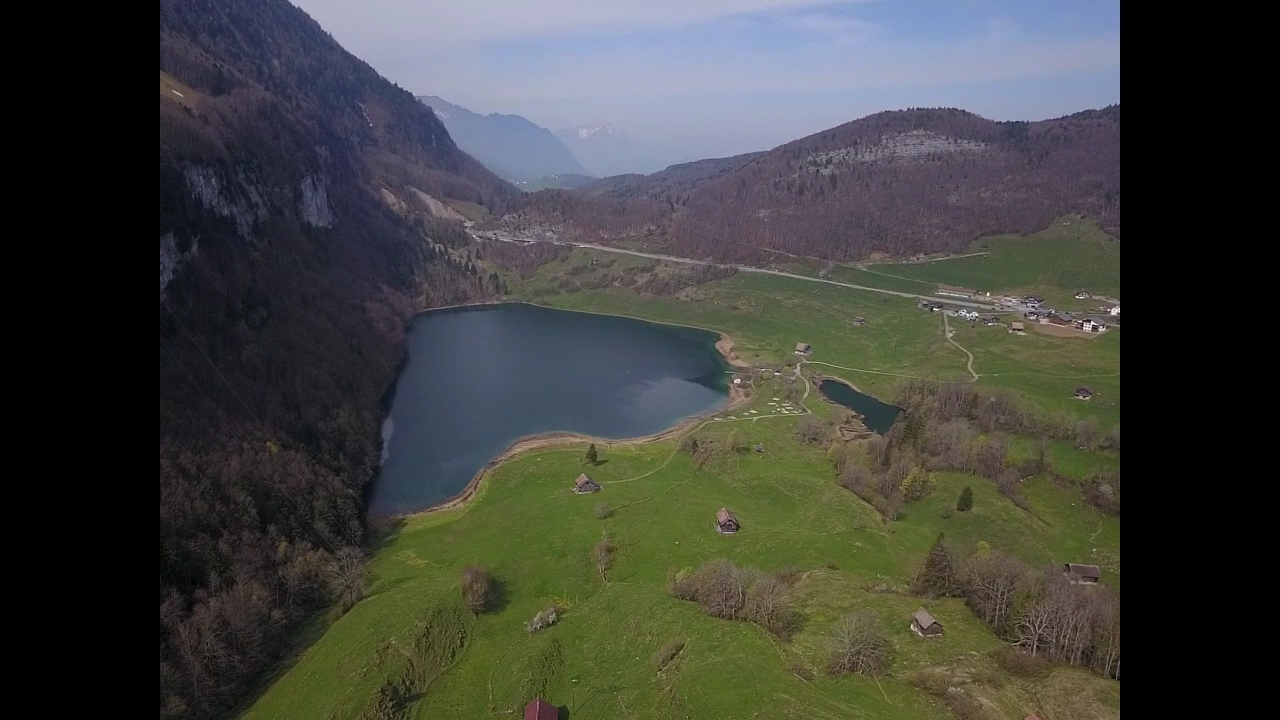
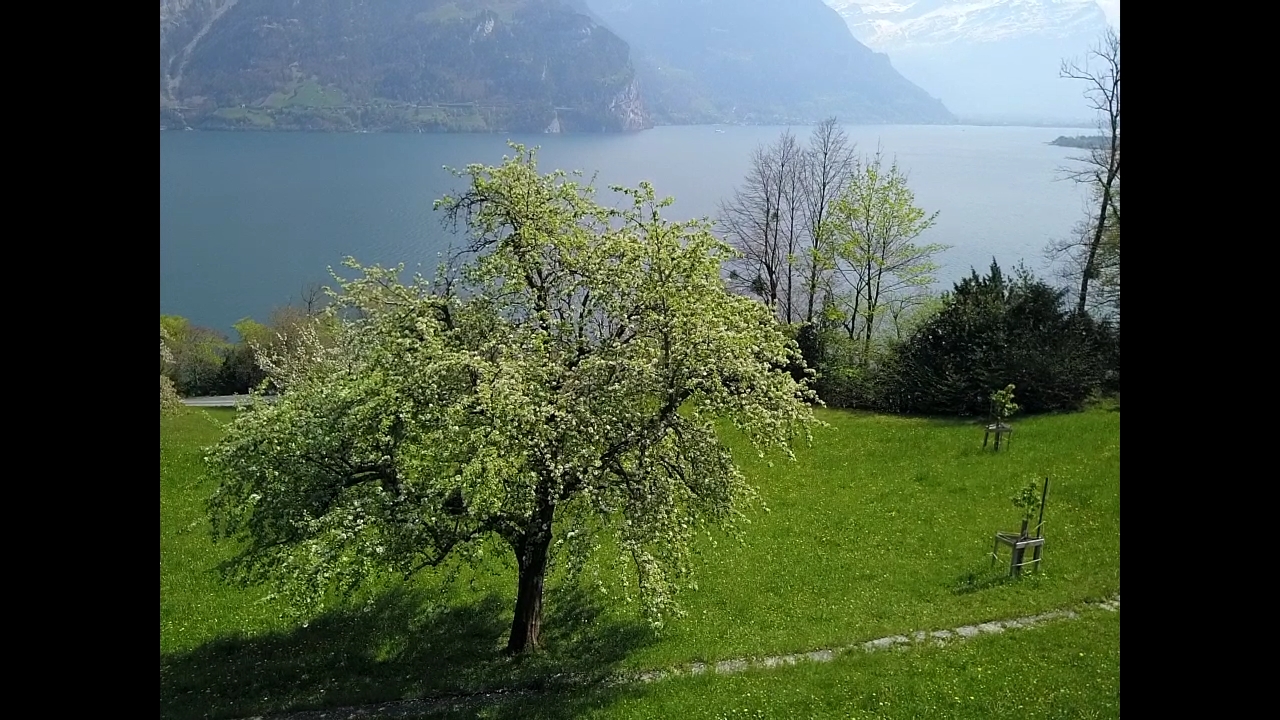
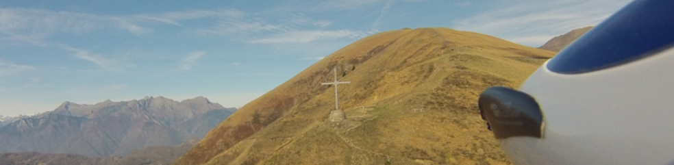
During my excursions in the Swiss-Alps, I never fail to take some air pictures with the drone I always carry with me. Obviously always respecting the flight rules and restrictions (LINK HERE). Here below is a small selection of the last three locations I flew to in May and early June 2022. 1] Stoos-Fronalpstock, 2000m ASL, Canton of Schwyz; 2] Lötschental-Niwengrat-Stritungrat, 2650m ASL, Canton of Wallis/Valais; 3] Passo San Lucio, 1550m ASL, Canton of Ticino at the border with Italy. Enjoy!

More air picture of me on my channel by DRONESTRAGRAM – check it out!

Weg der Schweiz

A couple of photos with my drone Mavic Pro (1) over the “Weg der Schweiz” (Switzerland’s way) in the Seelisberg Region (central Switzerland) and the awesome village of “Bauen”. The Lake “Vierwaldstättersee” (Lake of the Four Cantons) and the Grütli meadow, historical and almost mythical location for the foundation of Switzerland (1291) and on July 1940 General Henry Guisan used this locations for his speech, the “Rütlirapport”, to the commanding officers of the Swiss Armed Forces in which he ordered the “Reduit”-strategy and his aim never to surrender if invaded.